The changes in satellite images are expected to help in improved decision making across domains such as urban planning, security, and defence

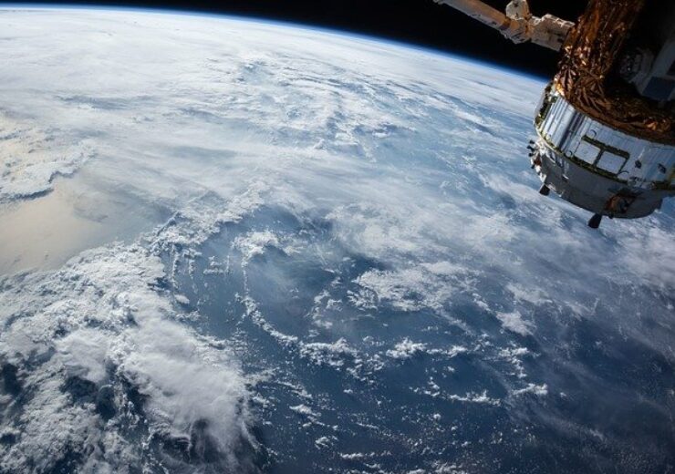
Airbus partners with HyperVerge for generating intelligence by detecting changes in satellite images. (Credit: Free-Photos from Pixabay)
Airbus has forged a partnership with HyperVerge, an artificial intelligence (AI) startup, for producing intelligence and insights based on an algorithm that identifies changes on satellite images.
The detection in changes will offer industry-specific insights to enable improved decision making across multiple domains like urban planning, security, and defence, reported PTI.
Airbus India BizLab leader Siddharth Balachandran was quoted by the publication as saying: “What HyperVerge does is it helps people understand what are the changes that are happening on the ground by looking at satellite imagery.”
Airbus has formed the partnership with the India-based startup through its geospatial digital platform OneAtlas. The Airbus platform provides satellite images, elevation datasets, vertical market analysis, and processing services among others.
Balachandran added: “Assume that you are monitoring the highway development using satellite imagery. When you start looking at a satellite imagery within a span of a month, you will be able to detect what are the changes and what sort of progress is happening using the algorithm that this startup brings into the platform.
“It is an algorithm that helps change detection on satellite imagery.”
Through the Living Library feature, OneAtlas offers access to satellite data from its multi-resolution optical archive, which is claimed to be updated on a daily basis.
The feature can be accessed through OneAtlas Data and API, in streaming, by downloading, or through other formats options via a usage-based subscription model.
OneAtlas’ library is said to offer over three years of 0,5cm and 1,5m imagery across the world, and more than five years of more than 3,000 metropolitan areas in the world.
HyperVerge, on the other hand, has developed a geospatial platform powered by AI. The platform is said to be capable of identifying assets of interest such as well pads, energy infrastructure, vehicles across the world, and also where changes are taking place.


